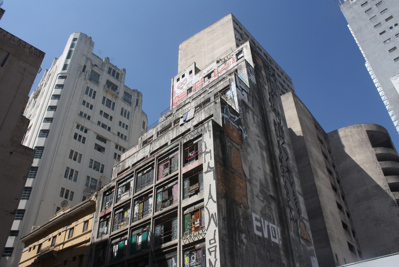
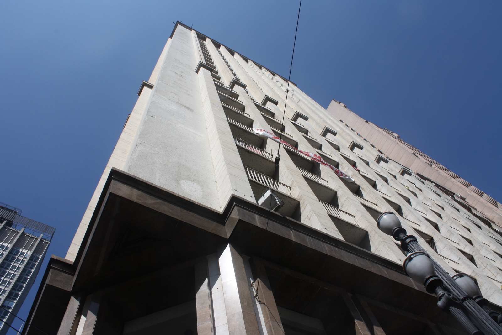
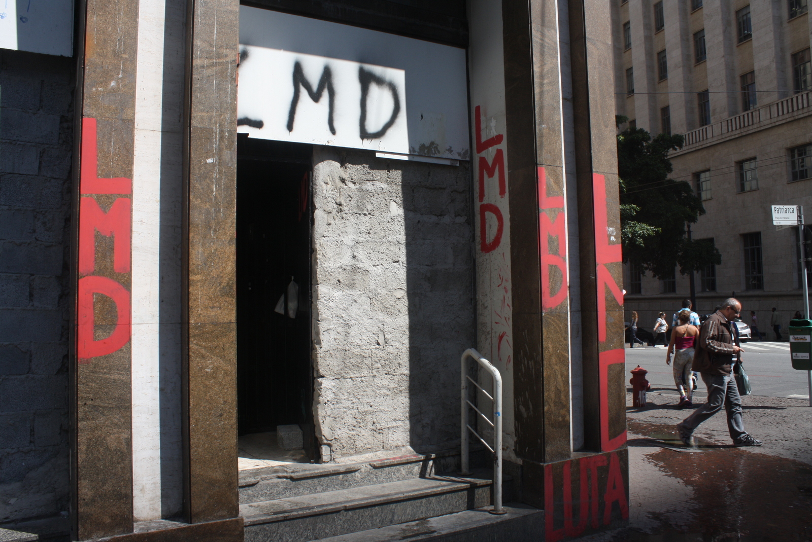
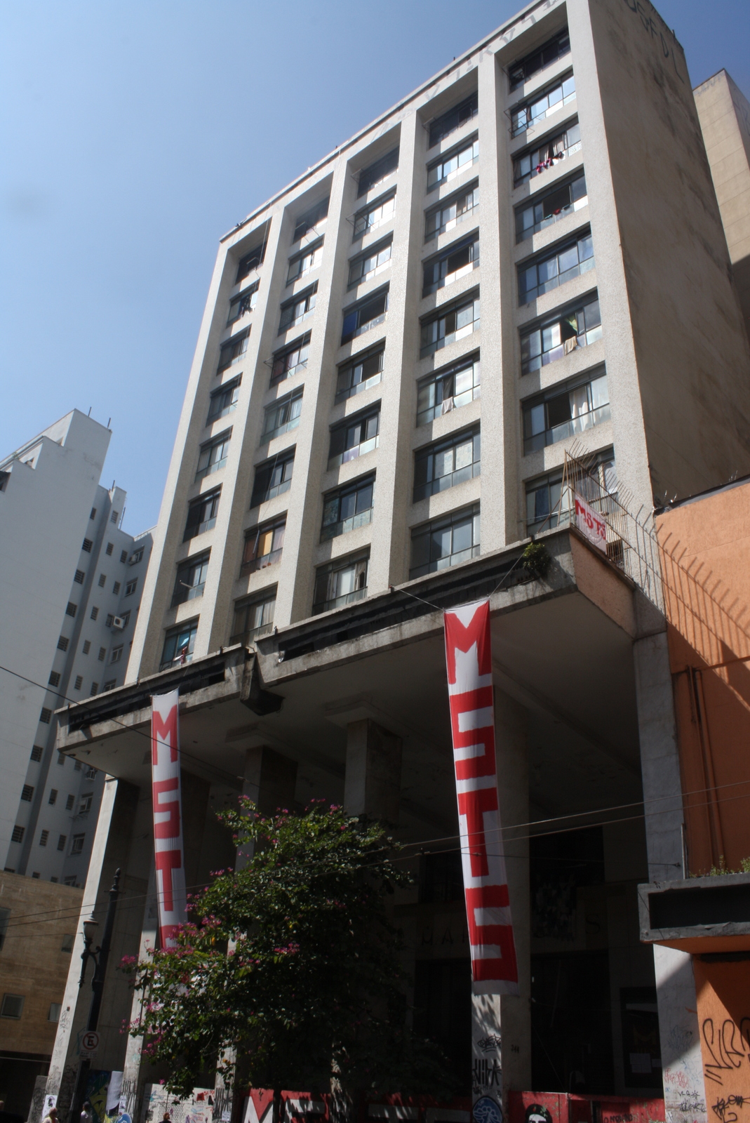
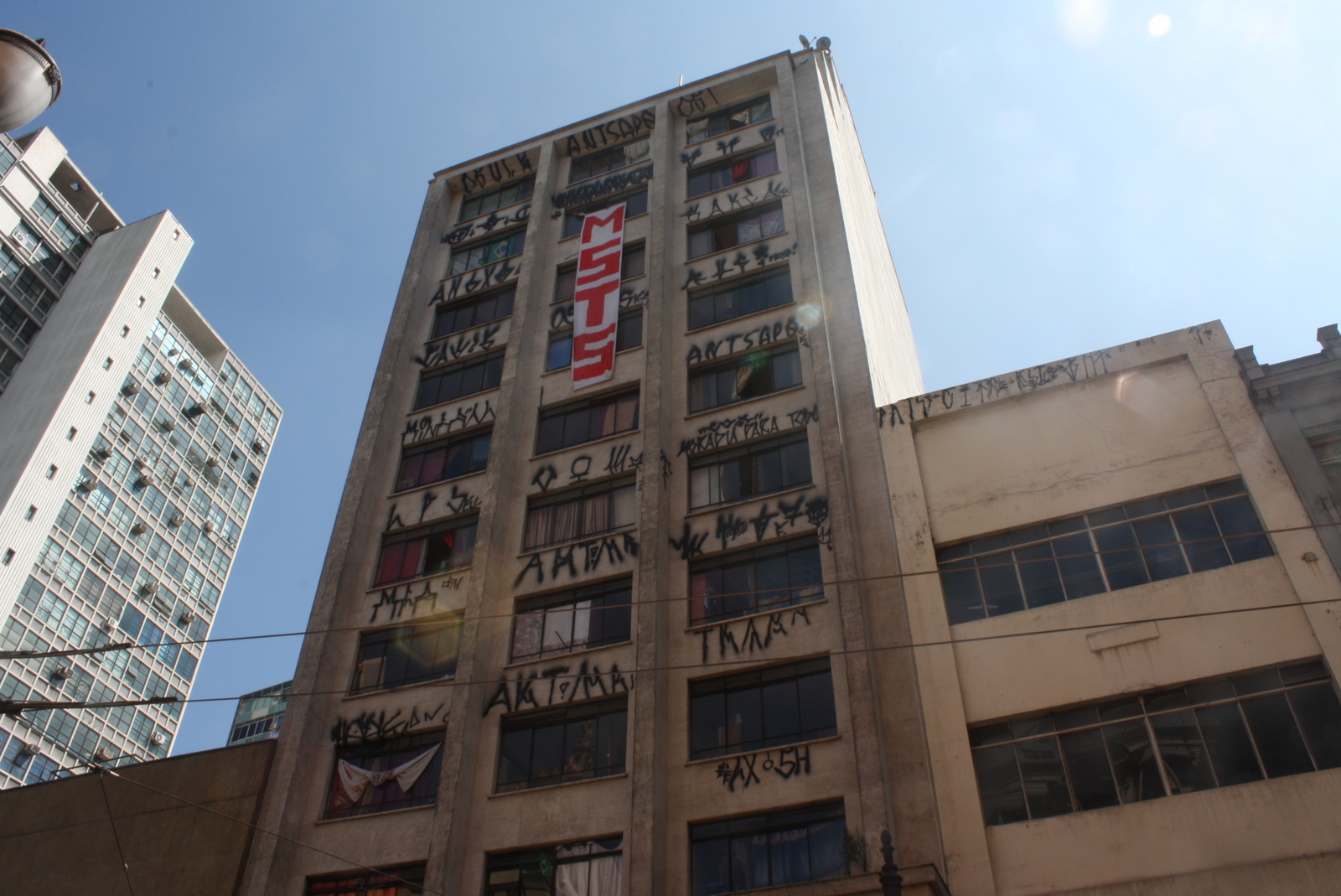
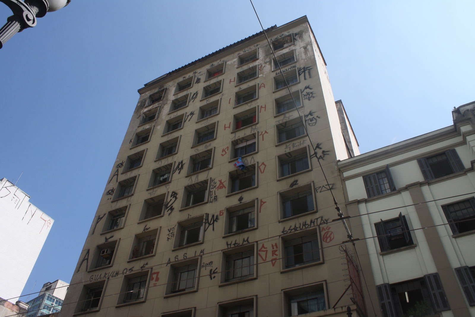
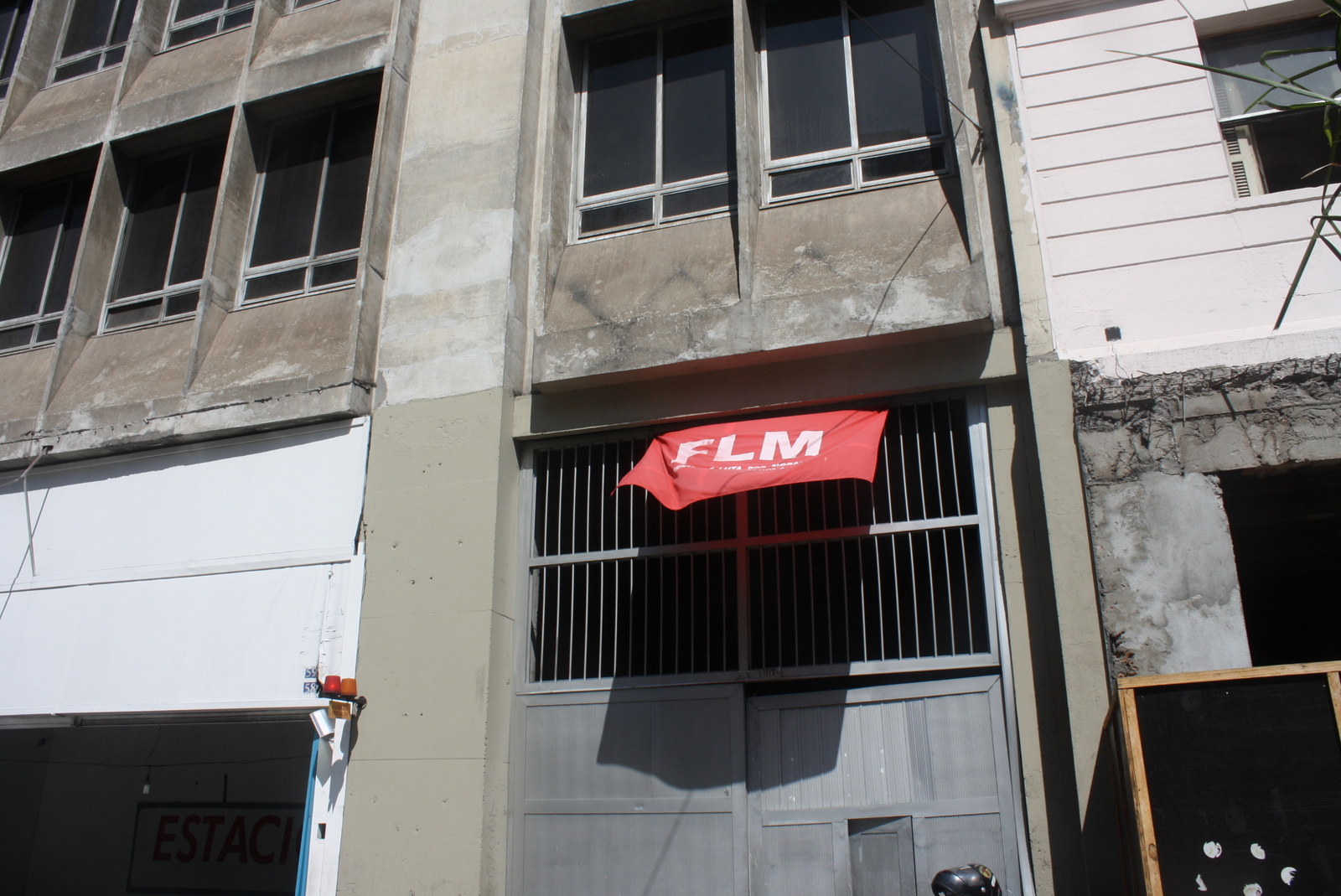
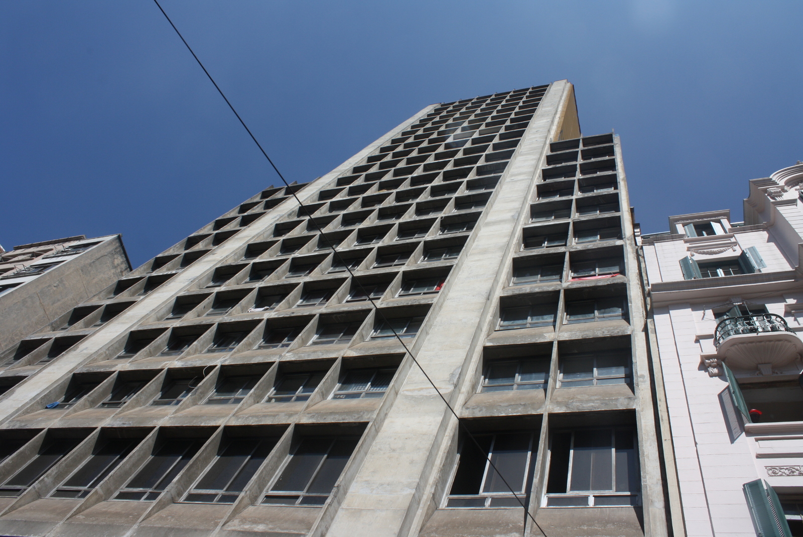
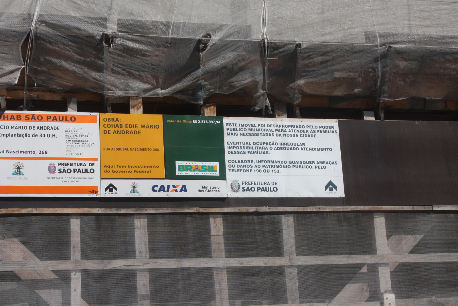
Downtown São Paulo, the center of the largest city in the Americas and heart of Brazil’s industrial expansion, is a contested space. For many decades the area has come to be seen as deteriorated, with hundreds of vacant buildings as a result of many of the older enterprises relocating out of the city center. Since the 1990s, housing movements (often known as “sem-teto”–“roofless”) have been asserting their right to decent housing in central areas, while other forces aim to “regenerate” the area in the typical manner that privileges property owners and the elite rather than those that are truly in need of housing and access to the city.
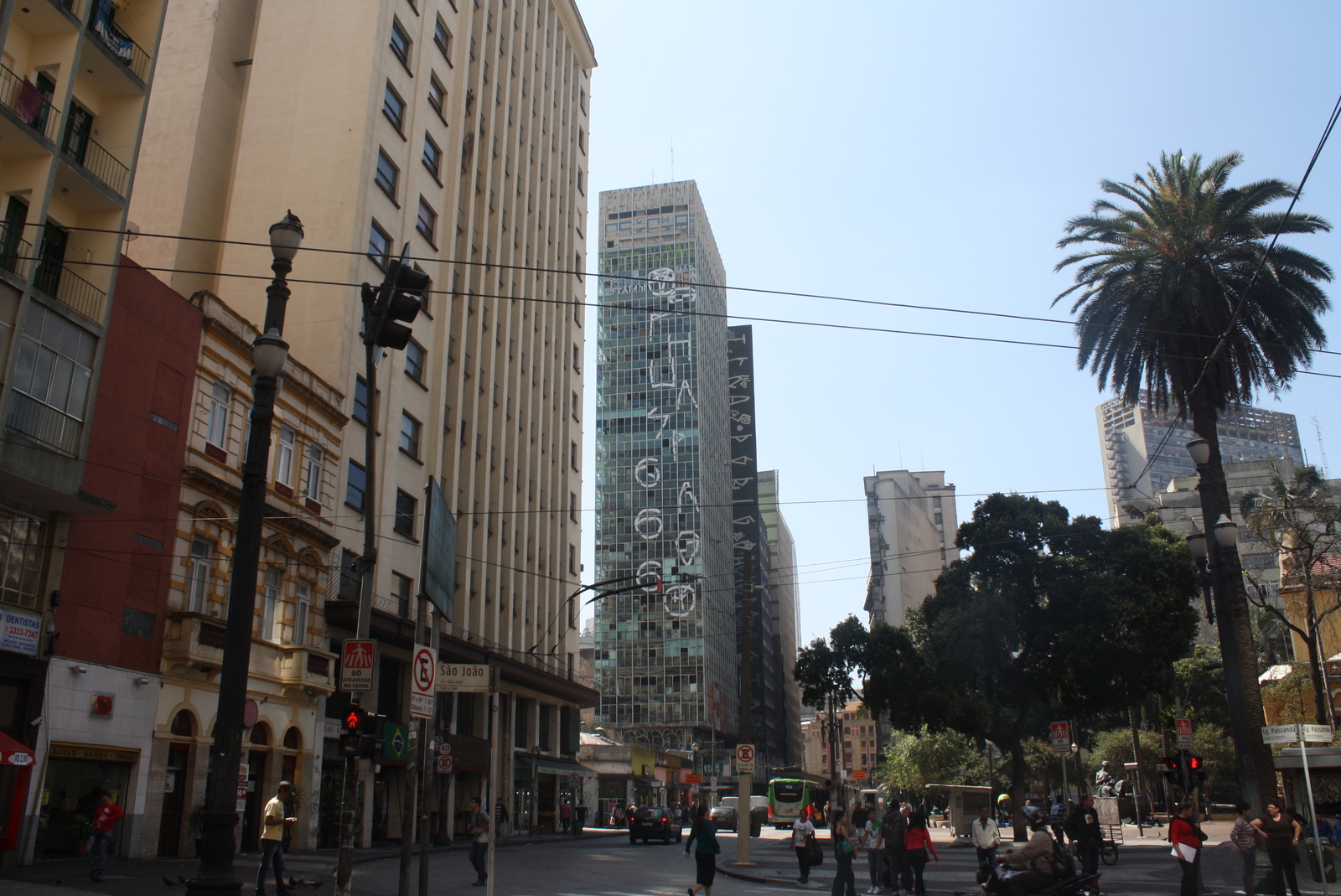
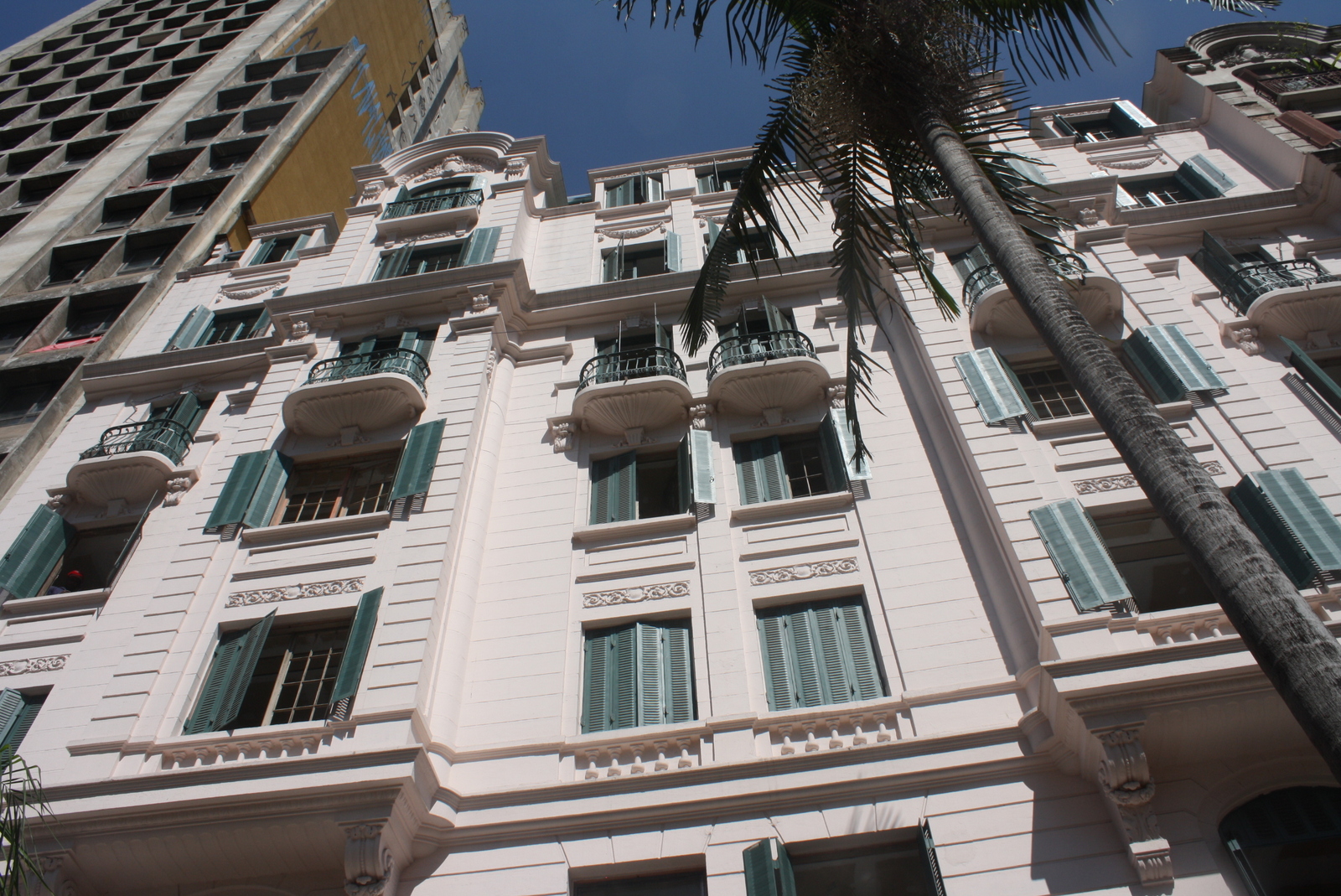
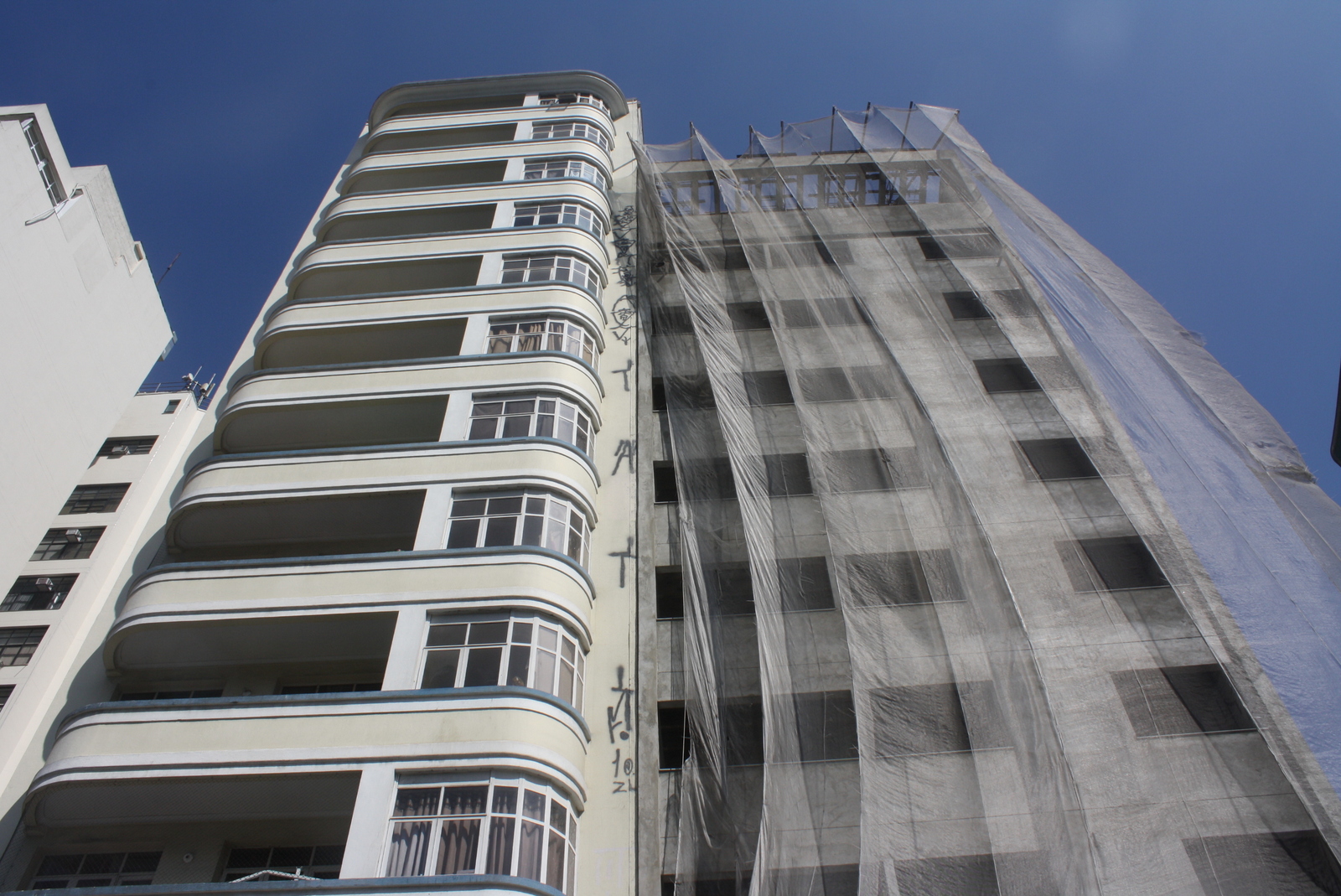
This is a map I made based on a transect walk in downtown São Paulo with a professor in urban planning who was kind enough to accompany me, pointing out various types of structures that offer clues to the story of the city center. On our walk, we saw previously vacant buildings occupied by housing movements, older historic buildings from when the center was previously an elite space, newer “cultural” projects aimed to attract investment to the area, and indeed new apartment buildings with less-than-affordable rent aimed to attract the city’s newer business elite. It is difficult to tell the whole story with a limited map and photos (many occupations and developments are not included here), especially when the situation is in constant flux. In mid-September, one occupied building I had seen on the Avenida São João was raided by military police, carrying out a judicial order to vacate the building. It is clear that the future of the city center remains undecided.

O centro de São Paulo, o centro da maior cidade das Américas e o centro da expansão industrial do Brasil, é um espaço contestado. A área foi percebida como degenerada nas últimas décadas, e movimentos de moradia (ou “sem-teto”) afirmam o direito á moradia digna na área central. Entretanto, outros poderes tentem criar um modelo de regeneração que beneficia proprietários elites e não as pessoas que mesmo precisam de acesso á moradia e á cidade.
Aqui apresento um mapa baseado num passeio no centro de São Paulo que eu fiz com um professor de planeamento urbano, que me acompanhou para que eu pudesse melhor perceber a história do centro. No passeio vimos prédios anteriormente vazios agora ocupados pelos movimentos de sem-teto, edifícios historicamente para o elite, projetos ‘culturais’ com objectivo de atrair novos investimentos na área, e prédios com apartamentos novos construídos para o elite mais recente. É importante notar que todas as ocupações e desenvolvimentos não são incluídos, e a situação está sempre a mudar. Em setembro, a Polícia Militar invadiu uma ocupação na Avenida São João para executar a reintegração de posse.
 Neste clipe de áudio, o professor Comaru da Universidade Federal ABC introduz a história da moradia no centro, desde o século 19 até os movimentos sem-teto atuais: