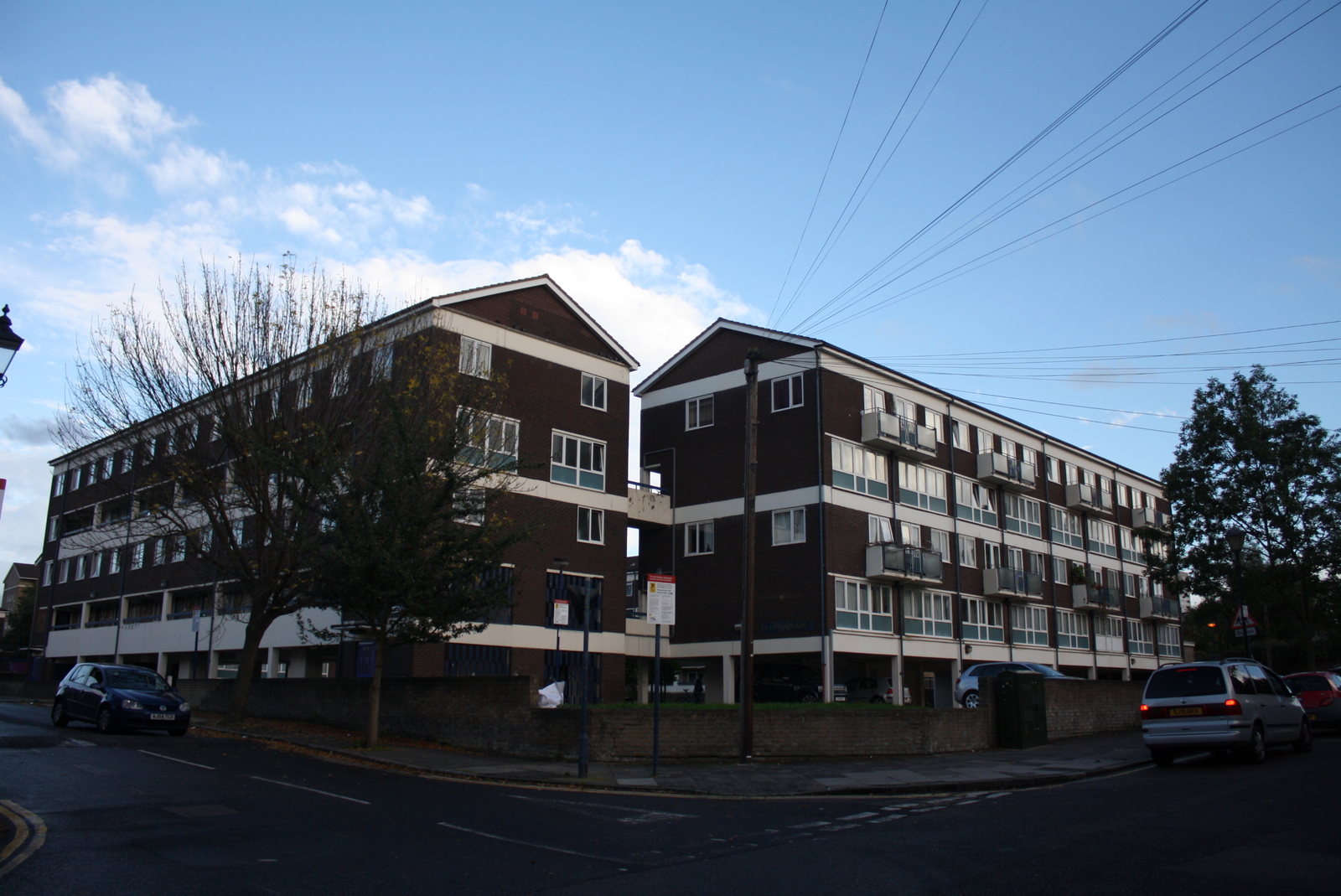
London is a city I still can’t quite put my finger on. Mainly, it’s so enormous that it seems impossible to try to think about it as one solitary entity. I am always shocked by how long it takes to traverse the city on bus or underground, making me evermore grateful for how everything in Paris is relatively close in comparison (people still get lazy in their respective quartiers, but it doesn’t usually take more than 20-30 minutes to cross the city on public transport.) And unlike Paris which has a definitive boulevard péripherique, London has no clear borders. It’s easy to tell that people aren’t always sure whether a certain neighborhood is in or outside of London. Perhaps it’s “outer London”? Not that it really matters. Though I do think that because of its much higher population and the gigantic, nebulous land area that London inhabits, certain neighborhoods can appear much more distinctive when traveling between them. In Paris it’s often just a matter of turning a street corner to find a completely new socio-economic/demographic/cultural makeup; in London you may have to travel farther, but the feeling of coming across a world-within-a-world is more apparent.
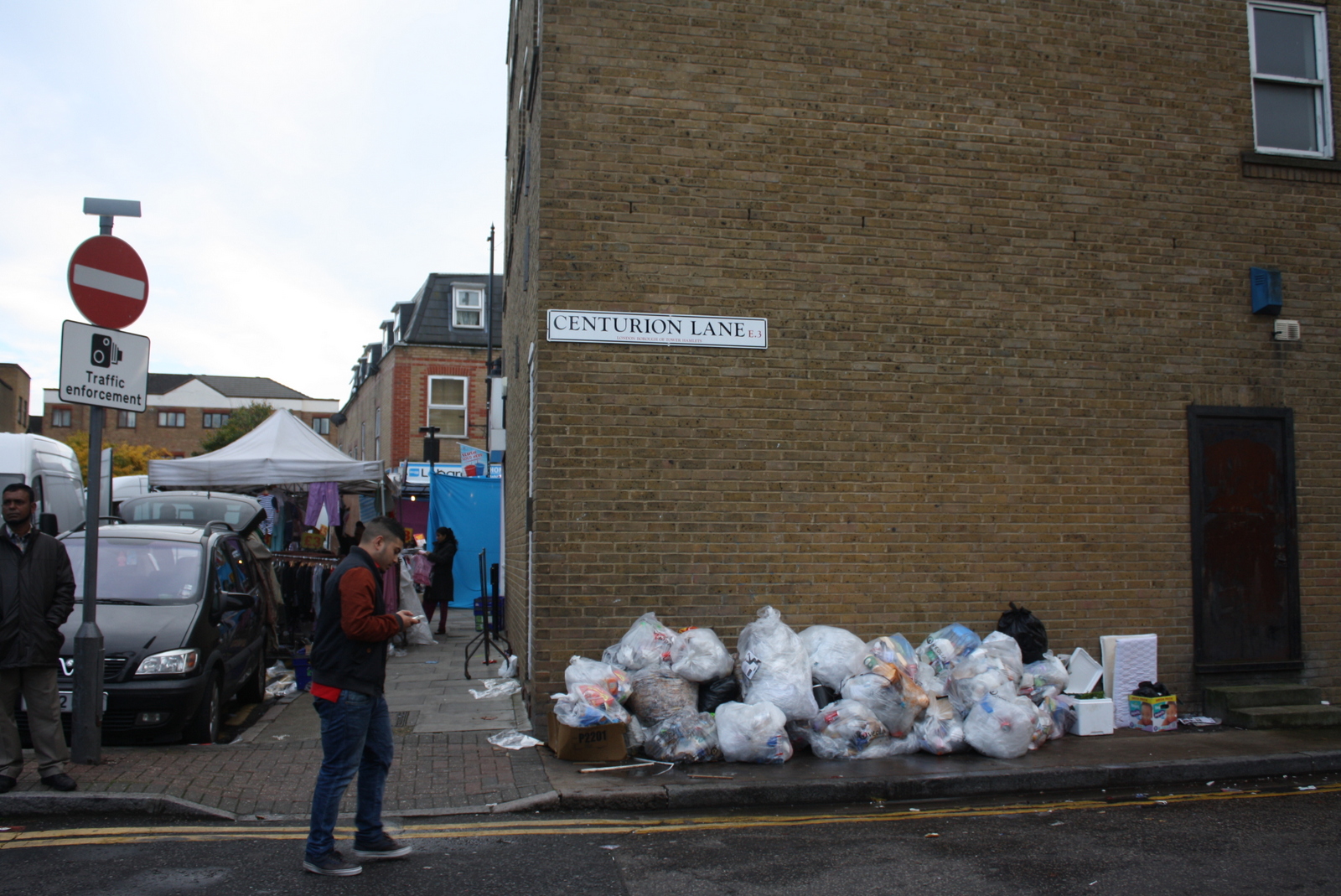
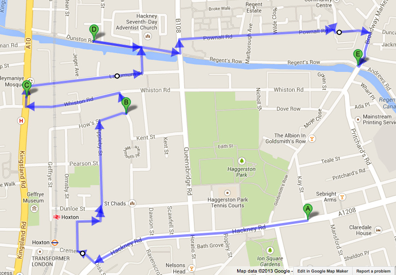
The world of central London has often left me a little at odds. Parts seem too commercial, like Times Square, or too bourgeois, like Paris’ Opéra quarter. The national monuments just don’t strike me with the same unapologetic romanticism as they do in Paris. I was eager to find neighborhoods a little off the beaten path that might interest me more. So last time I visited, Gary and I looked for something a little different to do on a (yep) rainy day and settled on a free “alternative” tour of East London. We braved the lightly sprinkling rain as our guide showed us old markers in the road that serve as the border between the City of London and East London (another system of borders I still don’t understand) and off we went to explore Brick Lane and the surrounding area. Besides being the site of what is probably the highest concentration of curry houses in the world, this neighborhood has been home to many different groups and immigrant communities. For one reason or another, it has also served as a chosen canvas for the incredible work of local and international street artists.
 The Brick Lane Masjid, or mosque, is a perfect example of East London’s layered mulit-cultural history. Built in 1743 as a Protestant chapel for French Hugeunots who had escaped persecution in France, it was later adopted as a synagogue for Jewish refugees and finally as a mosque for the growing Bangladeshi community.
 We saw a few pieces by a Belgian artist named Roa, who primarily paints giant black-and-white animals on the sides of buildings. This recent and particularly haunting piece is in color, though. Gotta wonder if he’s a vegetarian.
Continue reading “East London” →